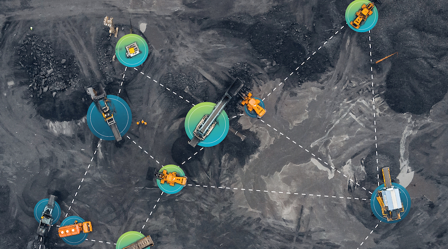
Windfall Geotek has used artificial intelligence (AI) to pinpoint at least 12 gold targets on the southern properties belonging to Exploits Discovery about 90 km south of Gander, Nfld. The targets were generated using AI on a compilation of available historic data and proprietary machine-learned filtering technologies.
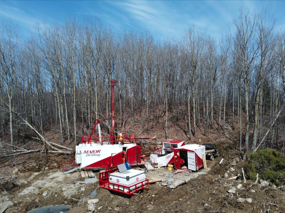
The project area is in south-central Newfoundland and covers 1,208.75 km2 known as the Great Bend, Middle Ridge, and True Grit project areas. Only a limited amount of exploration over the past 40 years has been conducted in this area, making it an ideal candidate for Windfall's industry-leading appraisal system.
Windfall is an AI company that has been in business for over 15 years developing its proprietary CARDS analysis (AI) and data mining techniques. Windfall Geotek can count on a multidisciplinary team that includes professionals in geophysics, geology, AI, and mathematics. It combines available public and private datasets including geophysical, drill hole and surface data.
The algorithms designed and employed by Windfall are calculated to highlight areas of interest that have the potential to be geologically similar to other gold deposits and mineralization. The company's objective is to develop a new royalty stream by significantly enhancing and participating in the exploration success rate of mining and to continue the Land Mine detection application as a high priority.
The Great Bend property is situated within the Dunnage zone and encompasses (from west to east), the Newfoundland Geological Survey-mapped Coy Pond complex (CPC), Baie d'Espoir group (BDG), and the Davidsville group. Lithological units are diverse across the property and consist of Cambrian to Ordovician ophiolitic ultramafics (CPC), Ordovician felsic to intermediate island-arc volcanics and siliciclastic sediments (BDG), as well as Davidsville group Ordovician marine siliciclastic sediments. The southwest property margin contains the northeast edge of the Early Ordovician Partridgeberry Hills granite which truncates the ophiolite and siliciclastic packages.
The Middle Ridge property straddles a significant regional structure of the Dunnage zone called the Gander River Ultra Mafic Belt, (GRUB), a regional scale trans-compressional thrust fault marked by a discontinuous belt of ophiolitic rock that forms the south easternmost boundary of the Exploits subzone. The GRUB line is believed to be a potential conduit for deep seated fluid flow and a pathway for the transportation of gold bearing fluids. This structure is spatially associated with significant gold deposition across the belt focused in secondary and tertiary structural splays from the GRUB line, which is hosted in the Silurian siliciclastic sediments of the Exploits subzone.
The True Grit property lays within the Exploits subzone which is underlain by siliciclastic rocks of the St. Joseph's Cove group. The St. Joseph's Cove formation is comprised of siltstone, pelite, sandstone, and conglomerate with minor quartz sericite schists thought to represent altered felsic tuffs. Historical till surveys resulted in numerous high gold grain counts which led to the discovery of the True Grit mineralized zones.
Windfall has played a part in numerous past discoveries utilizing its methodology as described at www.WindfallGeotek.com.


Comments
Raoul Schur
I have shares in Exploits Discovery, and I have noted that Windfall Geotek has been instrumental in making high grade gold discoveries on their properties. IMHO it seems to me that W.G. is way under the radar considering the great enthusiasm of AI now sweeping the markets. I feel that will change. Best of luck! Raoul Schur